Ålfotbreen
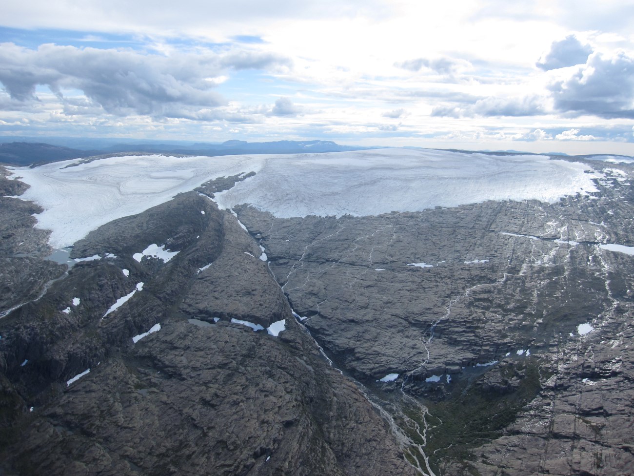
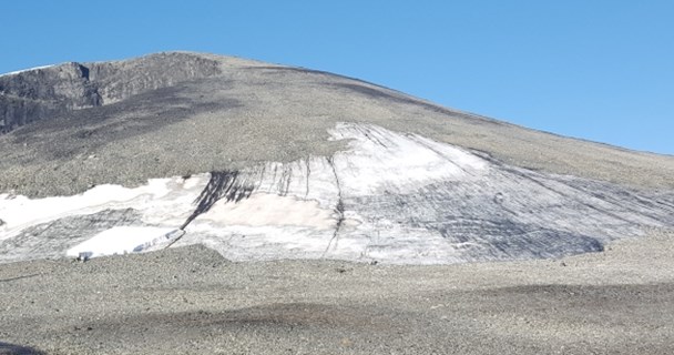
The Ålfotbreen ice cap (61°45'N, 5°40'E) is Norway 25th largest ice cap (9.8 km²), and is both the westernmost and the most maritime glacier in Norway.
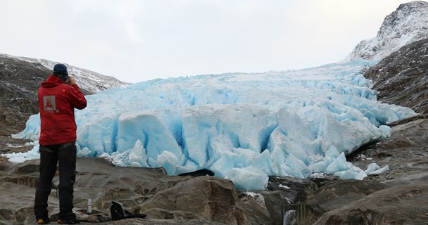
Mass balance studies are carried out on the two adjacent north-facing outlet glaciers - un-officially named Ålfotbreen (4.5 km2) and Hansebreen (3.1 km2). None of the outlet glaciers from the icecap have names on the official maps. Mass balance measurements started on the western outlet in 1963, and the results have always been reported as Ålfotbreen. The investigations on the eastern glacier, Hansebreen, started in 1986. The results can be viewed and downloaded from NVEs glacier data portal. The data are also published in the series 'Glaciological Investigations in Norway'.
Mass balance
The snow accumulation is to a large extent influenced by wind drift from south and west. Hansebreen is less exposed to wind drift. In order to evaluate the snow drift effects at this ice cap, mass balance measurements at Hansebreen have been carried out since 1986. The measurements have shown up to 25 % more snow accumulation at Ålfotbreen.
Literature
The report series 'Glaciological investigations in Norway' (Glasiologiske undersøkelser i Norge)
Andreassen, L. M., H. Elvehøy, B. Kjøllmoen, and R. V. Engeset. 2016. Reanalysis of long-term series of glaciological and geodetic mass balance for 10 Norwegian glaciers, The Cryosphere, 10, 535-552, doi:10.5194/tc-10-535-2016. (pdf)
Kjøllmoen, B. 2016. Reanalysing a glacier mass balance measurement series – Ålfotbreen (1963–2010) and Hansebreen (1986–2010). NVE Rapport 31, Norwegian Water Resources and Energy Directorate. (pdf)
Østrem, G. and N. Haakensen. 1999. Map comparison or traditional mass balance measurements: which method is better? Geografiska Annaler No 81A, p 703-711.