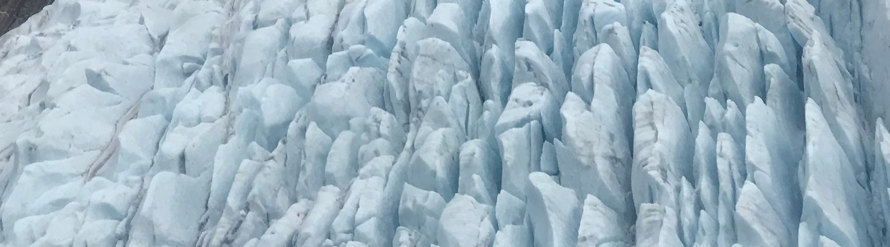
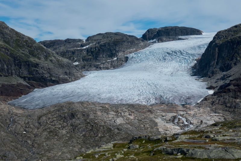
Publisert 15.02.2016 , sist oppdatert 05.09.2023

Glaciers

Glaciers in mainland Norway have importance for hydropower production, climate research and tourism, but are also a source of natural hazards. Glacier influence on river discharge and hydropower production has resulted in an extensive glacier measurement record.

The largest glaciers in Norway

1.  Jostedalsbreen (458 km2)
2.  Vestre Svartisen (190 km2)
3.  Søndre Folgefonna (154 km2)
4.  Østre Svartisen (125 km2)
5.  Blåmannsisen (81 km2)
6.  Hardangerjøkulen (64 km2)
7.  Myklebustbreen (45 km2)
8.  Okstindbreen (37 km2)
9.  Øksfjordjøkelen (36 km2)
10. Nordre Folgefonna (24 km2)

Glaciers in Norway

Glacier area: 2328 km²
In South-Norway: 1400 km² (60%)
In North-Norway: 928 km² (40%)

Source: Sentinel-2 2018-2019 

Largest measured ice thickness: 636 meters (Vestre Svartisen)

Monitoring:
Mass balance: 10 glaciers and one ice patch
Front variation: up to 39 glaciers

Rembesdalskåka, a south western outlet glacier from Hardangerjøkulen in Vestland, on 26th August 2020. The mass balance has been measured continously since 1963. Length changes have been measured in periods since 1917. Jøkulhlaups occur annually since 2014 from Demmevatnet located in the hidden valley to left from the middle of the picture. Photo Mark Reysoo.