Gå til hovedinnhold
Energy
Water and Climate
Map Services
About
Search
Norsk
Meny
Energy
Water and Climate
Map Services
About
Search
Norsk
Map services
Map services
Maps and geodata open to the public are listed in the NVE Map Catalogue.
NVE Map Catalogue
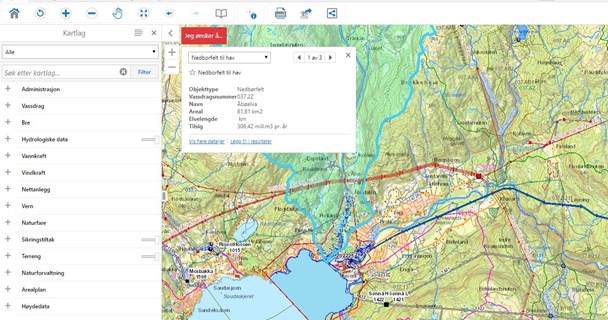
NVE Thematic Map
NVE Atlas
Download Map Data
Map Services (REST/WMS)
Water Maps
Nevina
Sildre
Series
Water Web
Disaster Maps
Floods
Avalanche Registry
NVE AlfaBeta
Climate Maps
Water Web
Norwegian Climate Service
Warning Maps
Varsom SeNorge
Varsom Ice Maps
Varsom Xgeo
Varsom RegObs