Monitoring glaciers in mainland Norway and Svalbard using Sentinel
In the Copernicus glacier service project, we have used Sentinel satellite imagery to monitor glaciers and derive glacier products for mainland Norway and Svalbard. In a new report we evaluate the suitability of Sentinel for glacier monitoring.
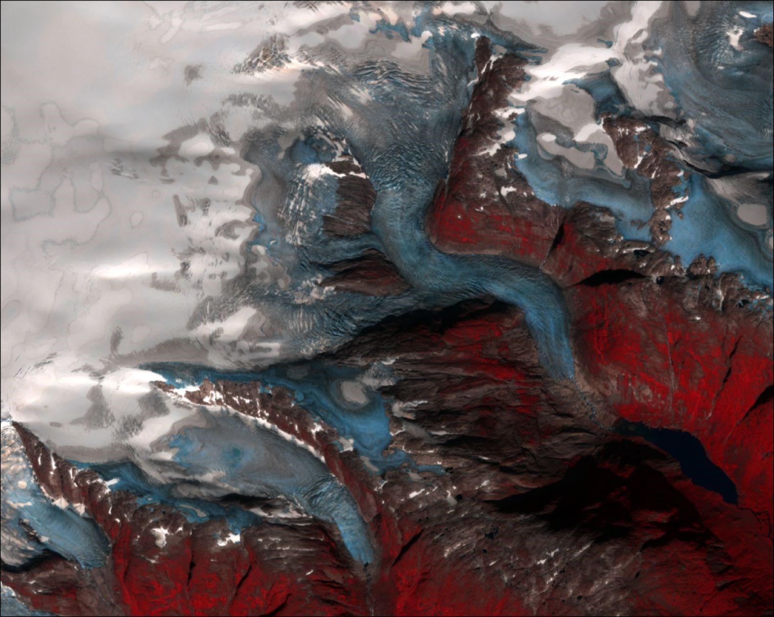
We found that Sentinel-2 data are well suited to derive periodic glacier products and for visual inspection of state of the stake of glaciers and glacier lakes. We used Sentinel-2 to derive updated glacier outlines for mainland Norway and Svalbard, map annual position of the marine calving fronts on Svalbard, determine glacier velocities, detect glacier crevasses and surges and delineate position of transient snowlines and glacier lake areas.
The major limitation for more usage of the Sentinel-2 data is cloud cover. Although our main focus in this project was the use of Sentinel-2 optical data, we also did some initial tests, demonstrations, and comparisons using Sentinel-1. Preliminary results suggest that Sentinel-1 radar data can be a supplement or alternative to Sentinel-2 data, in particular the detection and monitoring of glacier/snow facies, ice-velocity and surging.
NVE-report:
Andreassen, L.M. (ed.), G. Moholdt, A. Kääb, A. Messerli, T. Nagy and S.H. Winsvold. 2021.
Monitoring glaciers in mainland Norway and Svalbard using Sentinel. NVE Rapport 3-2021, 94 p.


